
NCKU Collaborates with the Ministry of the Interior to Promote Taiwan’s High-Precision Map Standards, Winning the 2025 International Spatial Information Excellence Award
The research team from the Department of Surveying and Spatial Information at National Cheng Kung University (NCKU), together with the High-Definition (HD) Mapping Research and Development Center, assisted the Ministry of the Interior in promoting HD map standards and guidelines. Their outstanding contributions were recognized with the Geospatial World Excellence Award at the 2025 Geospatial World Forum. In the “Policy Implementation” category, their work on HD Mapping Standards & Guidelines stood out among hundreds of proposals from over 70 countries, receiving the highest international recognition.
The organizer, Geospatial Media and Communications Pvt. Ltd., highlighted that these policies and technical standards not only set a benchmark for the Asia-Pacific region but also make significant contributions to the global standardization of intelligent transportation. This award symbolizes Taiwan’s leadership and practical potential in HD map policy.
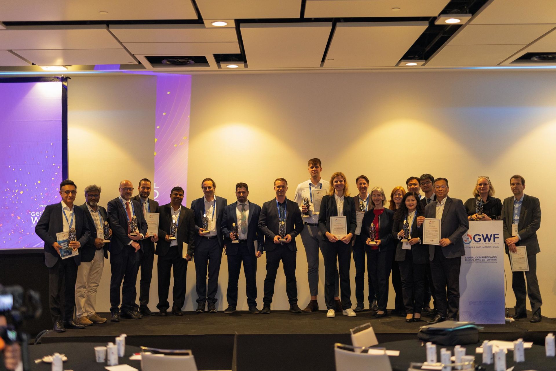
Professor Kai-Wei Chiang from the NCKU research team, along with Section Chief Chun-Yi Wu from the Ministry of the Interior, personally traveled to Madrid, Spain, on April 25, 2025, to receive the award. This visit not only reflects the Taiwanese government’s emphasis on HD mapping technology but also enhances Taiwan’s visibility and collaborative opportunities in the international geospatial community.
The NCKU research team and the HD Mapping R&D Center have long collaborated with the Ministry of the Interior to develop HD map data content and format standards, mapping operation guidelines, and verification procedures to support smart transportation applications, including autonomous vehicles. They also contributed to establishing comprehensive HD mapping workflows, update procedures, and quality control mechanisms. These HD mapping standards and guidelines have been reviewed and published by the Taiwan Association of Information and Communication Standards (TAICS), ensuring stable and reliable map data while aligning with international technical frameworks. Moving forward, the research team will continue to work closely with industry, government, academia, and research sectors to advance HD mapping technology and applications, promoting smart transportation, urban governance, and geospatial information development in Taiwan, contributing to a smarter, safer, and more sustainable living environment.